Explore Briones through its wine and landscapes
Start Briones
We start the route near the Briones municipal swimming pools on the border with San Asensio and continue straight on along a farm track. We shall continue along the main road, leaving accesses to the right and left, ascending in the form of a path towards the railway line and parallel to it along a path that is not very well marked in some sections.
Arrival at the San Juan bridge over the railway line. Continue to the left. Start of the section that coincides with the Davalillo Route. Continue straight on along the route. The castle of Davalillo can already be seen in the background, raised on a hill. Ascend along the path to the hermitage of Santa María de Davalillo (visit by appointment), a 16th century building, remodelled in 1973, and the 13th century Romanesque castle of Davalillo, with a 7-sided polygonal shape and made of ashlar masonry.
Castle of Davalillo
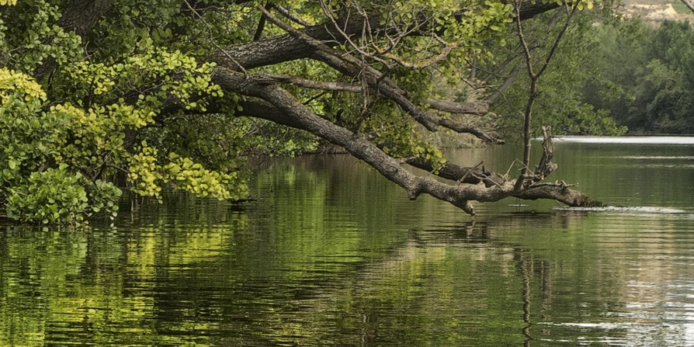
After visiting them, go down the other side following the route traced by the markers until you reach the Casa de Don Javier (a building in ruins). We continue straight on along the path of the Rueda Vieja, which takes us to the edge of the river Ebro. Nice views of the river, its vegetation, birds… and we join the Gozal path that runs parallel to the river.
Further on, the route moves away from the course of the river and we continue along the central path until we reach a crossroads where we turn left. Continue along the same path towards the railway line in the direction of the level crossing that appears in front of us, which we cross and continue straight on until we reach another crossing where we turn 90º to the left to reach the N-232.
Arrival at the start of the Davalillo Route next to the N-232 road, at the access to the San Asensio railway station. The Ebro route continues along the islet next to the N-232 road in the direction of the San Asensio railway station. Leave the access to the station to the left and turn right towards the N-232 road, where you continue along a path protected by a guardrail. Once you have passed the petrol station, continue along a path along the edge of a fenced farm. Continue along a newly created wide path that appears at the top of the San Asensio access roundabout and continue parallel to the N-232. Continue down towards the railway line that can be seen to the north.
Torremontalbo
Once you have passed the tunnel under the railway line, continue straight downhill and at the fork, turn right to take a path that runs parallel to the River Ebro, very close to it and separated by large poplars. After a long walk along the riverbank we take a path to the right turning 90º that leads us away from the river and into the vineyards. We are now in the municipality of Torremontalbo. We continue straight on towards the L-1214 road to Baños de Ebro, which is already visible ahead, where we turn 90º to the left and continue a few metres close to the hard shoulder.
Turn 90º again to take the first path on the right. This runs parallel to the railway line and crosses the Camino Viejo de Baños, which we follow after turning right. Cross the railway line at a barrier-free crossing in the vicinity of Torremontalbo and begin the urban route through this small but interesting town. Turn left to continue the route. Turn left again, which means that the route runs for a few metres in the opposite direction to the railway line until it passes under the Castejón-Bilbao railway line through the tunnel on the left of the junction.
Once through the tunnel, turn right onto a path that heads towards the bed of the River Najerilla. This is an area of orchards, nurseries and poplar groves. We enter the poplar grove towards the Najerilla riverbed, crossing it by means of a pedestrian footbridge. Once you have passed the Najerilla riverbed, continue along the path that appears in front of you, turning right and a few metres further on turn sharply left to take the path to the Cava de la Luz. At a water tank, continue along the path on the left.
Cenicero
Arrival at the junction with the Cenicero Route of the San Asensio, Cenicero and Torremontalbo Footpaths. From this point the route to the town of Cenicero is common to both walks. We will walk near an irrigation channel that appears on the right and continue in the same direction until we reach a fork where we turn 90º to the left and return to the same direction after the new crossing. The route heads towards the banks of the river Ebro, which appears in front of us. Turn 90º after reaching the vicinity of the Ebro. Walk straight along the banks of the river until you pass a bridge over a stream and continue along the river bed with good views of the Ebro.
Pass under the Castejón-Bilbao railway line through a tunnel and turn almost 180º to the right at the entrance to Cenicero and along Calle de San Roque, arriving at the Plaza de España in Cenicero and the end of the Cenicero Circular Route.
Cenicero (4 hours 15 minutes)
End of the route


